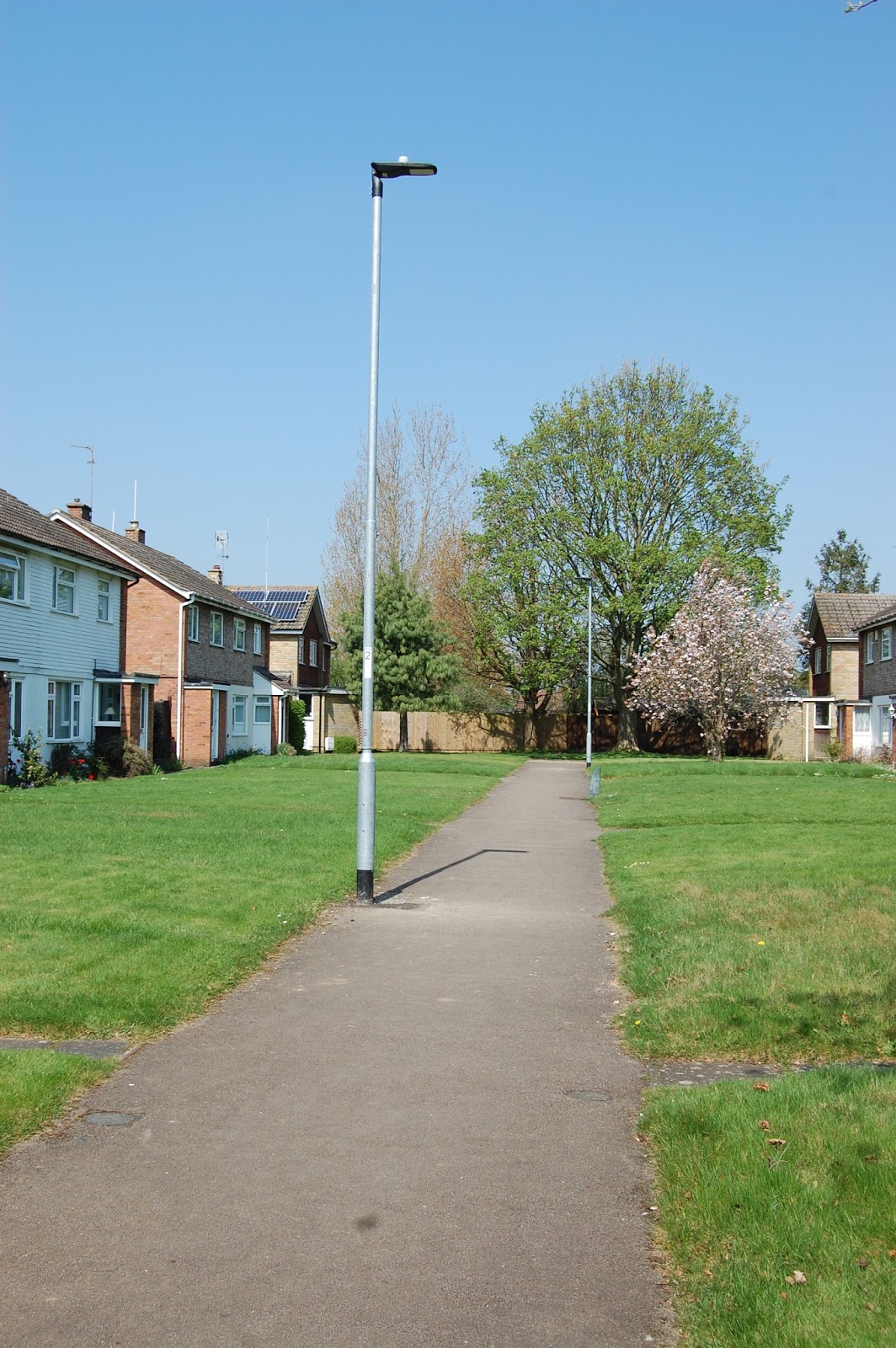

Typically also, Lyme Walk has a service road at the back with some on-plot parking up to the back gardens (eg. to the left of the photograph below - not that anyone seemed to be using them at this time):

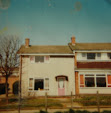
So far, still so 'true' Radburn, and so pretty - the fronts were particularly nice - here's Denham Walk, the next plot along from Lyme:

But why did I later come away from these almost preserved-in-aspic manifestations of a 1960s English suburban dreamtime feeling a little underwhelmed? Why wasn’t I experiencing the quiet excitement that I felt when I visited the Meadows last summer? I was left a little confused, a bit wanting, and I couldn’t work out why until I thought about it more on the train home. Look at that photo of Denham again.
To me, these little instances of private Radburn suffered from a fundamental flaw, specifically with regard to the central idea of separating the car from the pedestrian. Denham 'Walk' is surely a 'close'. What was lacking here, in relation to the Radburn council estate, was a wider network of pedestrianised spaces and footpaths away from the car and out and about across the estate overall - which tended to be the key characteristic of all Radburn-influenced council estates created over this period. Those graciously open, pedestrianised fronts do nothing other than to allow pedestrian access to and from the houses. Dedham Walk's verdantly lined central footpath meets a fenced-off dead-end. The potential for sociability that the various adaptations of Radburn afforded to the council estate, and which was considered desirable – essential, even - to the well-being of those new communities, literally goes nowhere here. Radburn in the private housing sphere, on the basis of this example at least, is pretty, but truncated, and oh-so-very private (understandably of course, but so much so that when you try to find these walks on Google Maps, it appears that someone has requested that the post-mounted signs that name each 'walk' are blurred out). Markedly, the estate also lacked the communal pedestrianised green spaces that, for instance, still characterise council estates like Middlefield today.
But this was not quite how it was meant to be on the Netherton estate. Once upon a time, as the original drawings show us, the estate was intended to be an expansive, 1960s go-ahead, fully-fledged facsimile of Radburn NJ, transplanted onto the fenland surrounding the English cathedral city of Peterborough:

This aerial view shows a short spur access road at the bottom, with a 'super-block' of houses around it, but also with a more comprehensively planned network of footpaths to the left and right and, especially, above, running diagonally across the near-centre of the drawing. All absolutely à la Radburn. The location plan below shows the size and extent of what surely would have been one of the most concerted attempts to accurately replicate Radburn NJ (itself a private development) this country had ever seen:

The oval shape in the centre shows the aforementioned 'walks' as four spurs just above where the area is marked 'Existing Estate', but the newer, much more extensive experiments in 'True Radburn', marked as 'Residential Areas' here, and shown in yet more super-block detail on the site plan below, never quite came off. Much of this development was never built as planned, mostly it seems because the 'New Outer Ring Road' was eventually moved closer to the city centre, more or less where that arrow pointing to 'Residential Area 3' is on the site plan, thus splitting the site into two. In a further twist of fate, another mid-70s estate was nevertheless planned and built Radburn-style on the far side of the ring road. This time however it was a public, local-authority development, created by the Peterborough Development Corporation as part of the city's new, 'new town' status.

So this almost unique opportunity (I'm sure there are other examples elsewhere in the country that I don't yet know about) to create a different way of private living through the comprehensive use of the Radburn Idea was mostly lost here. One of the drawings demonstrates how this modern, pedestrianised, sociable way of life, amongst a future of new and exciting housing forms would have looked on the ground, and contrasts it with the sterile, family-free monotony found in another drawing pointedly labelled 'Typical layout ... FOR COMPARISON':

The more architecturally ambitious 'linked housing' on the left of the first drawing also never really appeared to any great extent, except with just four examples on Meynell Walk (sadly only partly pedestrianised in itself, the 'walk' is cut off at one end by a traditional road lined with some quite ordinary 60s 'front access type' housing and, in spite of the grass buffer zone, a number of badly parked cars):


And then there was Knole Walk, the last bit of Radburn-esque I found on my visit:

Knole Walk is an undoubtedly beautiful point at which to finish this unashamedly long post, but it was also yet another oddly isolated, one-off example of Radburn planning on this estate. I came across it by accident, wandering, not even following my nose really, in an attempt to get away from what was yet another pleasant but otherwise quite ordinary 1960s private street. Here at least the footpath went somewhere (no dead-ends) even if it essentially joined one suburban auto-landscape to another. In itself it was Radburn Heaven but, taken in its wider context, it was also just another fragment of a whole that never quite happened.
I know that this series of posts on the various applications of the Radburn Idea in postwar English housing raises many more questions than it answers. I wonder, for instance, how differently the Radburn-influenced council estate would be viewed today if this mode of planning had also really took off in the private sphere? Why did I personally find these private examples of Radburn all a bit demure? And why am I more excited by what I saw on Google Maps of that council estate on the other side of the tracks/the 'New Outer Ring Road', eg. this:

Newly modified Radburn with cycle paths anyone? But these posts are just a start, and I hope to dwell upon all these questions, and more, as part of a much bigger research-practice project on Radburn in postwar Britain that I'm developing over the next year or so. It is clear though that the architectural and planning professions, private and public, were at one time quite swept up by the creative opportunities Radburn presented for new experiments in planning homes and communities (and so I also need to understand why it came to be so discredited amongst those professions). The architects and planners who used, replicated, adapted the Radburn Idea in the postwar years certainly did not get it right all the time but I, for one, will at least applaud their efforts. Private or public, the Radburn Idea still seems to me like a good design for living.
Comments
Post a Comment